UK Weather Alert
The Met Office has issued a red alert for the UK as Storm Babette is expected to bring unusual rainfall and strong winds. A red rain warning applies to parts of eastern Scotland, including Brechin, Forfar and Kirriemuir. Valid from 6pm Thursday to 12pm Friday. Met Office Chief Meteorologist Jason Kelly said: “We have increased confidence that Storm Babette is likely to have a significant rainfall impact on parts of eastern Scotland, leading to the escalation to a red alert.”
Impacts highlighted under the Red Alert are , a danger to life due to widespread flooding. Homes and businesses will be flooded and travel conditions will be seriously disrupted. This is the first red rain warning in the UK since Storm Dennis in February 2020.
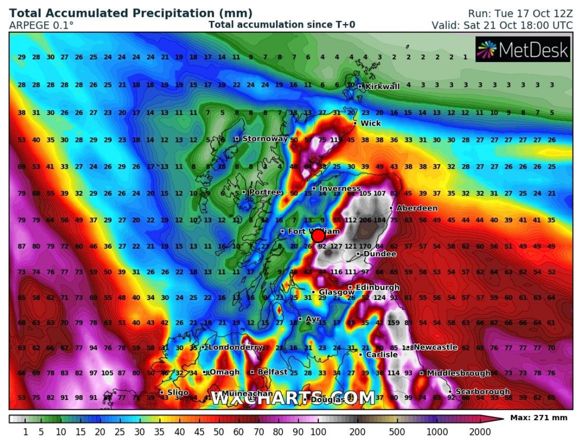
A yellow rain warning is also in place for large areas of eastern and central Scotland from early Thursday morning until late Friday. Very high rainfall of 70-100mm is expected in the region, with some highlands potentially receiving 150-200mm during this period.
A Yellow Wind Warning has also been issued for eastern Scotland due to strong easterly winds. Wind gusts in excess of 110 mph are expected Thursday, which will worsen conditions, especially along the coast.
⚠️⚠️🔴 Rare Red weather warning issued 🔴⚠️⚠️
Exceptionally heavy and persistent rain across eastern Scotland
Thursday 1800 – Friday 1200
Latest info 👉 https://t.co/QwDLMfRBfs
Stay #WeatherAware ⚠️ pic.twitter.com/Ybig9DaQ6R
— Met Office (@metoffice) October 18, 2023
There are several weather warnings in place for Storm Babette, with heavy rain also expected in Northern Ireland and large parts of England and Scotland.
Jason continued: “Storm Babette will gradually move northward over the next few days, with the greatest impact expected in the red and yellow warning areas, but the wind and rain will still have a significant impact on large parts of the UK.
Heavy rain is also expected in parts of southern and south-east England on Friday, coupled with a second low-pressure system from the south. More than 50mm of rain is possible in some places.
Red weather warning for rain for part of Scotland https://t.co/hgaJPqAuqL
— BBC News (UK) (@BBCNews) October 18, 2023
Prepare for potential flooding
Scottish Environment Protection Agency (SEPA) Flood Manager David Morgan said: ” runs from Thursday through the weekend in the Northeast.
“We urge people to prepare for possible flooding as surface water and river impacts are possible and catchments are saturated from recent heavy rainfall and flooding.” There are also concerns that strong winds could block drainage channels and culverts with debris, making surface water flooding even worse.
“Flood warnings and warnings are in place as appropriate and we continue to work with the Met Office to monitor the situation 24 hours a day.For the latest information, please visit our flood updates and 3 day flood forecast for Scotland See what to expect in the future by visiting.
“If you live or work in an area that could be affected, consider any steps you need to take now to be prepared and stay safe, and to take extra care if you need to travel.
“If you have not already signed up to Floodline, you can do so now to receive free updates for where you live, or travel through, directly to your phone. Follow SEPA`s social media, especially @SEPAflood on X for the latest information.”
Landslides possible
A spokesperson for the British Geological Survey said: “Whilst the landslides will be different to last week`s failures in the West of Scotland with less potential of large-scale debris flows, there is a history of coastal landslides within the warning area. Infrastructure slopes are also likely to be affected with potential for disruption to roads and railway within the warning area.”
Stay safe near the coast
RNLI Water Safety Partner, Sam Hughes, said: “The forecasted strong winds along with heavy rain are likely to cause dangerous conditions for those visiting the coast around the UK and Ireland.
“The RNLI advises staying a safe distance away from the water and cliff edges as the conditions could knock you off your feet or wash you into the sea. It’s not worth risking your life.
“If you see someone in danger in the water, call 999 or 112 and contact the coastguard if you are on the coast or the fire department if you are inland. If you have something, throw it at them. Don’t go into the water yourself, you could get into trouble too.”
The RNLI’s advice is
WINTER Stay away from stormy seas and cliffs.
Check the weather forecast and tidal times before heading out.
Take your phone with you.
In an emergency, call 999 or 112 for assistance from the Coast Guard.
Do you know your risk of flooding?
Could your property be at risk of flooding? Check and prepare by following this three-point plan. 1. Check here to see if your property is at risk. If you’re at risk, take these two steps to protect your property if necessary: 2. Create a flood plan; 3. Prepare an emergency flood kit.
Further ahead
A low-pressure system is expected to dominate the UK’s weather until early next week, with the potential for further rain and windy weather. Follow us on Twitter, Facebook, Google News and check our website for the latest weather forecasts.