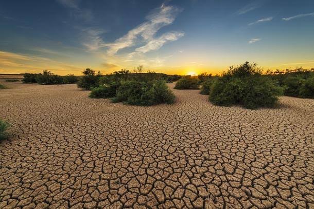
An exceptionally long La Nina weather phenomenon that intensified drought and flooding is finally ending, the United Nations said Wednesday — but what comes next might bring its own problems.
The outgoing La Nina phenomenon, a cooling of surface temperatures that can have a widespread impact on global weather conditions, started in September 2020. However, despite La Nina’s cooling effect, both 2021 and 2022 were warmer than any year prior to 2015.
Now El Nino, its warming opposite in the cycle, El Nino, could be on the way this year, the UN’s World Meteorological Organization said in its quarterly update.
The WMO said that after an unusually stubborn and protracted La Nina dragged on for three consecutive years — a so-called triple-dip — there was a good chance El Nino would develop in June-August. “The first triple-dip La Nina of the 21st century is finally coming to an end,’ said WMO chief Petteri Taalas.
“La Nina’s cooling effect put a temporary brake on rising global temperatures, even though the past eight-year period was the warmest on record,’ he added.
New WMO Update: A warming El Niño event may develop in the coming months after three consecutive years of an unusual La Niña, influencing temperature and rainfall patterns in different parts of the world. https://t.co/LzHGHR3sUJ pic.twitter.com/NyRJ76IHCv
— World Meteorological Organization (@WMO) March 1, 2023
“If we do now enter an El Nino phase, this is likely to fuel another spike in global temperatures.’
Uncertain forecasts
La Nina is the large-scale cooling of surface temperatures in the central and eastern equatorial Pacific Ocean. It normally occurs every two to seven years.Conditions oscillate between La Nina and its opposite El Nino, with neutral conditions in between.
The WMO said there was a 90-percent probability of neutral conditions during March to May, decreasing to 80 percent in the April-June window and 60 percent in May-July.
The chances of El Nino developing are forecast as 15 percent in April-June, 35 percent in May-July and 55 percent in June-August.However, forecasts produced at this time of year come with a higher degree of uncertainty.
“We need an extra two or three months to have a more confident idea of what to expect,’ said Alvaro Silva, a consultant at WMO working on the quarterly updates.
Tracking the oscillation between the two phases helps countries prepare for their potential impacts, such as floods, droughts or extreme heat, he told AFP.
El Nino risks
Even with the cooling La Nina, “the past eight years were the warmest on record, so we have here an important signal of climate change’, he said.
“With El Nino, there is an increased likelihood that we will see the warmest year on record.’
The WMO said that even though La Nina was coming to an end, latent impacts were likely for some time to come due to its long duration, so some of its effects on rainfall might persist.
While El Nino and La Nina are a natural phenomenon, they take place “against a background of human-induced climate change, which is increasing global temperatures, affecting seasonal rainfall patterns, and making our weather more extreme’, the WMO said.
