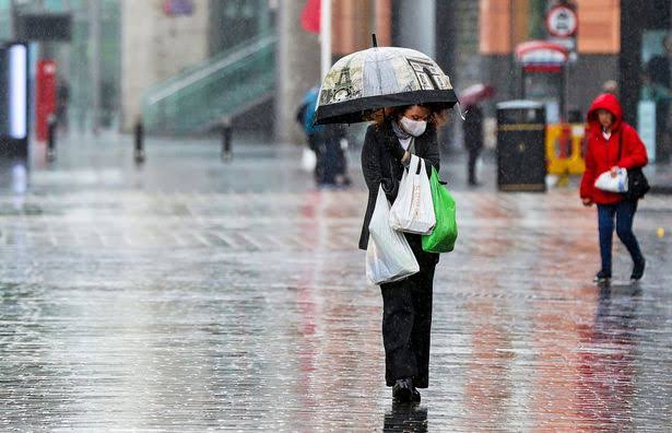
The UK is bracing to be battered by a “huge” storm in a matter of hours that will see large parts of the country downed in massive downpours, along with flooding and brutal 60mph winds. The Met Office has issued a yellow weather warning for rain in the South West and south coast in England, with Devon and Cornwall to be soaked in up to 25mm of rain, with flooding also likely. There is also a yellow warning for wind in place, with the Met Office forecasting powerful gusts of up to 60mph in several coastal areas.
The latest UK weather maps from WXCHARTS show a huge band of rain sweeping eastwards over the Atlantic and smashing into the South West in England this evening.This massive weather front quickly expands over the following hours and into Friday to cover the southern half of the UK, with millions of Britons set to wake tomorrow to a very wet and windy morning. Downpours will continue throughout the course of the day, with bands of rain spreading towards northern England and into Scotland around mid-afternoon.
The latest UK weather maps also show winds gathering in strength later tonight – particularly around coastal areas and in the English Channel – as the storm barrelling across the Atlantic crashes into the South West.
Brian Gaze from The Weather Outlook told Express.co.uk a deep area of low pressure will push in from the Atlantic tonight, with the stormiest conditions hitting south London and the South West, with forecasted winds of over 60mph.
He added “also it looks very for a time in the English Channel”, while there will be heavy showers that could turn thundery with longer spells of rain “swirling around the low pressure”.
Mr Gaze said: “A deep area of low pressure pushes in from the Atlantic tonight, with its centre forecast to take a track across Wales and Midlands.”The strongest winds will be on its southern flank, so the stormiest conditions are expected to be to the south of London and in the south west, where gusts of over 60mph are possible in exposed locations. It also looks very nasty for a time in the English Channel.”There will be heavy showers which could be thundery, and longer spells of rain swirling around the low pressure, so much of the southern half of the UK can expect another soaking tonight and tomorrow to round off what has already been a very wet March.”
The weather forecaster said there should be some respite from the heavy rain heading into the weekend, but warned of this being replaced by cold air that could send temperatures plunging. He continued: “As we head into the weekend showers become more scattered as the low pressure moves away into the continent.”However, colder air from the northeast will be feeding in, so April will start disappointingly chilly, particularly in the north and east of Britain.”