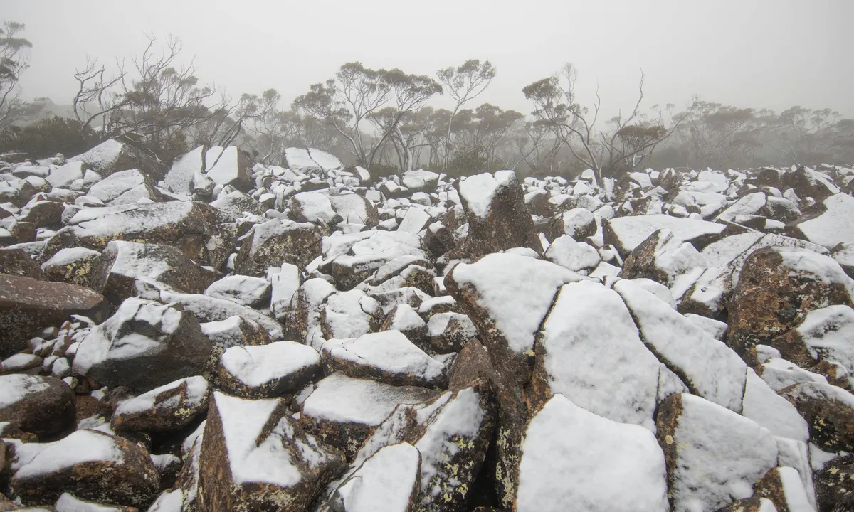
A cold blast is set to send temperatures plummeting across Australia over the long weekend, with holiday-makers warned to prepare for dangerous “supercell storms”.
Those hoping to soak up the sun during the Easter break may have to rethink their plans, as NSW, Victoria, Queensland and South Australia are all expected to be hit by supercalls from Thursday.
Supercell storms, the least common kind of thunderstorm, look like “rotating” storms and have the ability to produce “severe weather,” according to the National Weather Service.
Warnings have been issued for those looking for a long weekend getaway, with supercells likely in Queensland, NSW, the ACT and Victoria on Friday.
Temperatures are expected to be “well below average”, with rain forecast across much of the nation, according to Bureau of Meteorology senior meteorologist Sarah Scully.
“Showers and thunderstorms are forecast across eastern and southern NSW on Friday, with the potential for severe storms along the east coast and adjacent mountain ranges, bringing damaging winds, large hail and heavy rain,” she said.
“Showers are forecast in the south on Saturday, contracting to the ranges on Sunday, before becoming dry throughout on Monday.
“Hazardous surf conditions are forecast to develop on the south and central coast during Sunday, extending to the north coast on Monday.”
Melbourne is set to have its coldest Easter Sunday since 1946, with wet and windy conditions on the way, according to Weatherzone meteorologist Ben Domensino.
A combination of showers, possible storms and clouds bring in the cool change on Friday, with daytime temperatures hovering around 20C, with the weekend to only get worse.
South to south-westerly winds will bring in cold air through Melbourne, with daytime temperatures only expected to reach around 18C on Saturday, 15C on Sunday and 16C on Monday.
A cold blast is set to send temperatures plummeting across Australia over the long weekend, with holiday-makers warned to prepare for dangerous “supercell storms”.
Those hoping to soak up the sun during the Easter break may have to rethink their plans, as NSW, Victoria, Queensland and South Australia are all expected to be hit by supercalls from Thursday.
Supercell storms, the least common kind of thunderstorm, look like “rotating” storms and have the ability to produce “severe weather,” according to the National Weather Service.
Warnings have been issued for those looking for a long weekend getaway, with supercells likely in Queensland, NSW, the ACT and Victoria on Friday.
Temperatures are expected to be “well below average”, with rain forecast across much of the nation, according to Bureau of Meteorology senior meteorologist Sarah Scully.
“Showers and thunderstorms are forecast across eastern and southern NSW on Friday, with the potential for severe storms along the east coast and adjacent mountain ranges, bringing damaging winds, large hail and heavy rain,” she said.
Temperatures are expected to be ‘well below average’, with rain forecast across much of the nation, according to
“Showers are forecast in the south on Saturday, contracting to the ranges on Sunday, before becoming dry throughout on Monday.
“Hazardous surf conditions are forecast to develop on the south and central coast during Sunday, extending to the north coast on Monday.”
Melbourne is set to have its coldest Easter Sunday since 1946, with wet and windy conditions on the way, according to Weatherzone meteorologist Ben Domensino.
A combination of showers, possible storms and clouds bring in the cool change on Friday, with daytime temperatures hovering around 20C, with the weekend to only get worse.
South to south-westerly winds will bring in cold air through Melbourne, with daytime temperatures only expected to reach around 18C on Saturday, 15C on Sunday and 16C on Monday.
“The cold snap will be driven by a strong cold front lurching northwards and dragging a frigid air mass towards Australia from the Southern Ocean,” Mr Domensino said.
“The last time Melbourne had an Easter Sunday at or below 15C was in 1943 when the temperature only climbed to 14.3C.”
South East Queensland is at risk of being hit by severe thunderstorms on Good Friday, according to Ms Scully.
“Severe thunderstorms are possible for South East Queensland on Good Friday before settling down to drier conditions for much of the state from Saturday,” she said.
